Episode Transcript
[00:00:00] Speaker A: This is constructive voices.
This is constructed voices.
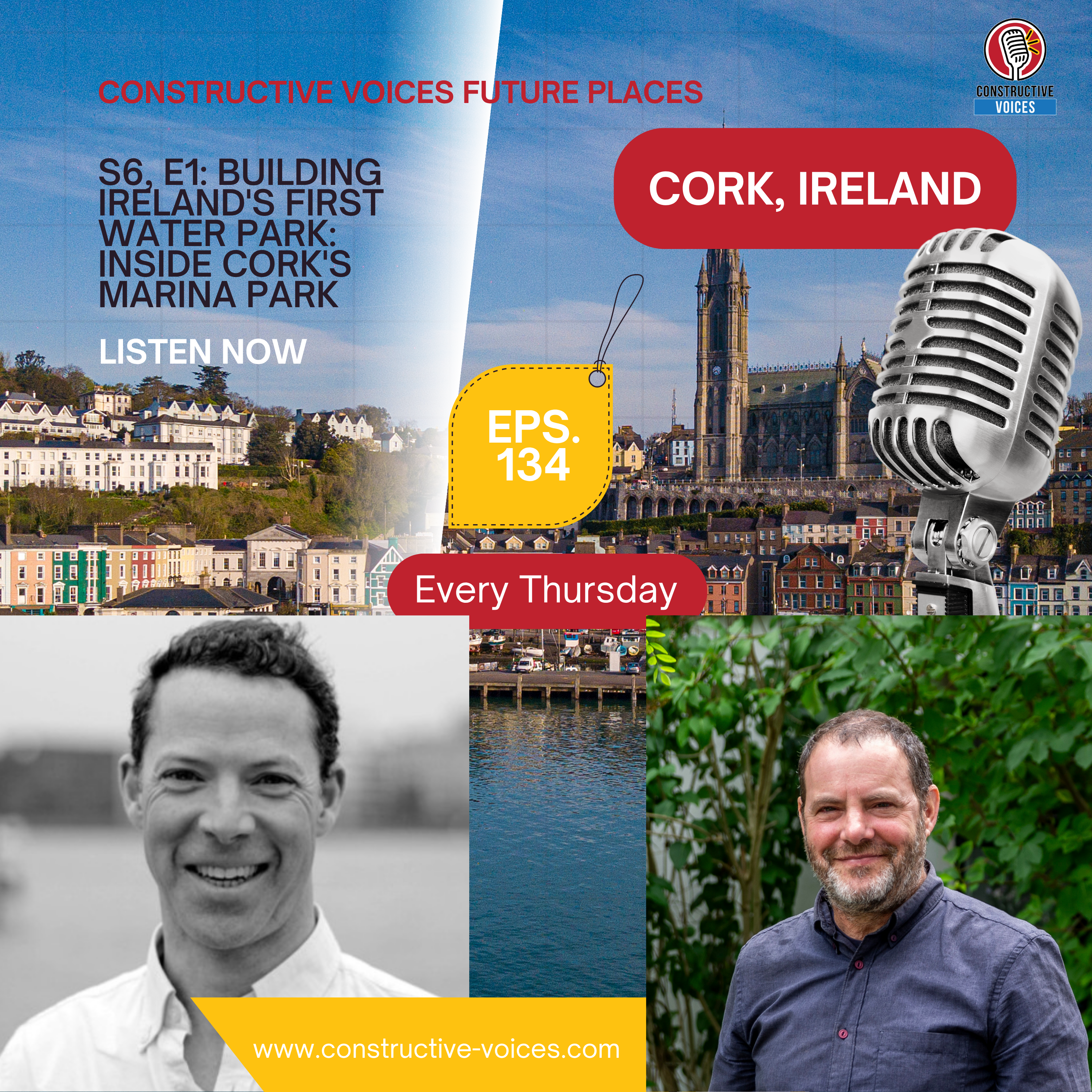
Six hours. That's roughly how long parts of Cork's Marina park can sit underwater during a storm before the tide drops far enough for the river Lea to take it back. Most parks are designed not to flood. Marina park is designed to do exactly that. And it's one of the reasons this 36 hectare site on the edge of Cork, South Docklands, is being called Ireland's first water park. Hello and welcome to Constructive Voices. Hi, I'm Jackie deburka and over the next three episodes we're telling the story of Marina Park, a project that was 15 years in the making and that has reshaped how a medium sized Irish city thinks about its river. I'm joined by two of the designers behind it. Patrick McCabe, the Irish born Netherlands based founder of Redscape, and Rani Ishar, associate architect at the Dutch firm Okra Landscape Architects in Utrecht. Together, they're going to walk us through how a derelict piece of Docklands became one of the most ambitious public spaces in modern Ireland. This is episode one, Building Ireland's first water park. Patrick, would you like to introduce yourself?
[00:01:40] Speaker B: Yeah, sure, Jackie. I'm Patrick McCabe, landscape architect and director, founder of Redscape. As a landscape architect, I suppose we work on all kinds of different projects from regional scale right down to the street. So we do a lot of parks and heritage projects and a lot with water and water management. That's from my background in the Netherlands.
[00:01:59] Speaker A: So Patrick, you've come to speak to us. I mean, you have a lot of amazing projects I've seen on the Redscape website. But today you're going to talk to us about Marina park in Cork. Now we have a global audience, so we're not going to assume that everybody knows what is happening in Marina park in Cork. Would you like to kind of give a very basic introduction to it first of all, Patrick?
[00:02:18] Speaker B: Sure. I think Marina park is probably known to most Corkonians as the location of parki Queeve, the heart of the Ga herling in particular. And around that there's a green area that used to actually serve the city as a showgrounds beforehand and a lot of other green areas along the River Lee. And the entire area of the park is about 36 hectares in total. So it's a big, big area and it's now bordering, if you like, the South Docklands area which is connecting to the city centre as well. It's actually a polder originally, so it was being built in as if you like a levee along the river. So it's a very low lying area and would be flooded immediately if Levy wasn't there. And the levee is called, it's like a dyke, it's called the Marina, which is a famous, if you like, area for most people in Cork. They will know it straight away and they love to walk along it all the way down to Black Rock.
[00:03:10] Speaker A: So obviously it has been referred to, Patrick, as Ireland's first water park. What does that actually mean in design terms?
[00:03:17] Speaker B: Well, I suppose a lot of the design for the park is trying to future proof the park really against large storm bursts and large rainfalls that we are now more intensely experiencing maybe in the country than ever before as the pattern of climate begins to change over time. Because it's low lying, the River Lea itself rises up higher than the actual park itself outside of the levee or the dyke. So it means that all that water that flows into that park and that area and also the Docklands area, which is a large, large area, has to be retained within the park and its surroundings for about at least six hours till the tides then go down and then the water can then flow out through the dyke based on gravity. So it can kind of flow out. But for much of the time, you know, because of the high tides, the lee is actually much higher than the actual level of park area itself. So maybe that's part of the, you know, special uniqueness of this site. And apart from that, I think it's also about the changing tendency within spatial design in Ireland in particular, the last 10 years for designing more with water and realizing that, you know, we're experiencing droughts in the summer, we're getting too much rain in particular at periods. It can also be in the summer, by the way, and we have to manage that much more carefully. So the whole idea of this park is that it can actually hold that water. Large areas then become submerged.
The infrastructure and the pathways don't. So it's designed to hold and collect that water. And that forms very much the theme that joins up the whole park.
[00:04:46] Speaker A: So that's the park as it exists now. 32 hectare working landscape that holds flood water, hosts hurling vinyls and provides a heritage trail running back to the city. But before any of this could be built, the right to design it had to be won. And that story starts in 2012 with an international competition. Here is Rani Ishar of Okra.
[00:05:07] Speaker C: You know, kind of when we came in 20, I think 12, Cork actually kind of recognized the importance of the Docklands development and the important to develop kind of an important public realm next to it. So the Marina park park is part of the larger development of the city and larger development of the Docklands, developing the green kind of lung of this development.
So Cork has established an international competition and we've won it together with a multidisciplinary team of local engineers and heritage and ecologists. And it took kind of a process of. I think this year we're kind of opening the last area of the park. So it took almost 15 years for this to happen.
So first we kind of worked together with Cork to get the master plan of the park and then devised a plan how to deliver it in three different particular stages.
There was the phase one, which were more the western side of the park. There was the Marina promenade, which was part of the water promenade. And there's phase two, which was more the ecological part of the park, the nature side, which extends more to the east.
[00:06:30] Speaker A: Do you feel, Rani, that, you know, Cork City Council had a relatively good understanding about the project ahead of them?
[00:06:37] Speaker C: I think so. I think they understood and that's why it's phased also. And it's broke down to different stages.
They had to get funding for the different phases. In a way, you establish the master plan in order to understand the scale of the development and allow you to get funding also for the project and the different phases, and then broke it to the different stages in order to be able to fund it in time.
And different kind of elements of the project come from different funding resources, obviously
[00:07:12] Speaker A: a huge amount of time, but seems like it's a great success story, Rani, so far, isn't is.
[00:07:21] Speaker C: I've just been there kind of not so long time ago, and I think definitely the area, I think the phase one was open to the public in 2020.
It was a bit the pandemic time, but it was received very well. And then after that, the Marina Promenade, which is the walk along the water, which was received extremely well. You know, it is. It was a trafficked vehicular traffic area and it's been fully pedestrianized and been accessible to the public. So there are there in weekdays, there are thousands of people walking the area. There's different running and sport groups that are using it constantly. And I think in the weekend there's kind of more than 10,000 people walking there. So this is really kind of the best thing is to see how people are using the space when you design it, or as a council when you deliver it. And now kind of the back of it, the park is fully kind of open to the public. So it's in total 32 hectares of public room with different areas and different characters.
[00:08:30] Speaker A: Three phases, 15 years, more than 10,000 people walking around it on a weekend. That's the headline. But behind it lies a question every landscape designer eventually has to answer. How do you give shape to 32 hectares of formerly derelict, formerly disconnected ground? For Patrick McCabe, the answer was to go back to the old maps of
[00:08:52] Speaker B: the river itself, creating a new, maybe a new relationship with water, because a lot of the relationship that Ireland has had with water has been one very positive in the past. That's how we've develop trade, how towns have become well connected and so forth for trade in particular.
But in more recent times, water has not been seen as a friend in Ireland. It's been seen more as an inconvenience, and concrete walls have gone up around it. And we would prefer to maybe just forget about it. And sometimes we're even afraid of it, particularly if the rivers are a bit smaller and they're easier to.
To keep out of mind.
[00:09:32] Speaker A: Okay. Yeah. It is interesting, obviously, and especially so because the project itself does draw on some of the older wetland character that was there.
Approaching that, Patrick, was it a challenge not to slip into some kind of a nostalgia?
[00:09:45] Speaker B: Not really. I think, for me, at least, I'm not particularly nostalgic now about landscapes in general. It's, it's. It's a very disrupted landscape in a way. It's been kind of cut off from. From the lee, but at the same time, it had. If you look back into the maps and how it generated, you can see a beautiful sort of sinuous movement of the river, of all these different tributaries, and also along the escarpment, along the Monaghan Road. And that became, if you like, a signature for the park. So this fluid movement of these lines running parallel to the river in terms of the path structure and the water structure. So I would say that's something that we embraced as a design team. And I worked together as well with okra landscape architects, it's good to say that, and a whole team of engineers and all different kinds of experts. This kind of movement of the river was very important as a signature for the park. And it's also a very practical thing because, you know, water flows in very clever ways. And we had to flow around the parque, a great big stadium, which was expanded significantly during the project at the beginning. So we had to find our way. It was almost cut off, in fact, into three different parks, you know, so we had to then ensure that that movement continued around the stadium and through the stadium area. So sometimes nature delivers form, which is very practical and very.
[00:11:05] Speaker A: So apart from the challenges of working your way, you know, around Parque Quive. Yeah, you were just really going with the flow of what nature had sort of like put there as an imprint at the beginning, really.
[00:11:15] Speaker B: Yeah, absolutely. And I mean, embracing sort of sometimes the heritage aspects are really, is the key for me, at least as a designer, so that you can take things from the past and move them into the future and create that connection. So, for example, the showground buildings were very poor quality in general, but I basically was very happy that there was one structure in the middle of the showground buildings which had this kind of wonderful steel framework with a roof. And that became the kind of iconic red building that people know within the park at the moment before the stadium. And that's become kind of almost like an icon really for the project itself. And that emanates from the showgrounds and the history of the showgrounds. And it's kind of a leftover that we've then developed further, which becomes and has a new meaning, if you like, for the park.
[00:12:02] Speaker A: The red building isn't the only piece of the past the project pulled forward. Underneath Marina park is a much older story. A piece of 18th century maritime engineering, a long forgotten public promise and a folly that sat hidden in the undergrowth for generations. Rani Ishar found all of it on his first visit of the site.
[00:12:24] Speaker C: I think when we come to design, we look very much, we look and analyze of the site, we look to the history, we look to the morphology, we look to the landscape, the nature conditions. And there's a really interesting kind of story, kind of history to this area also. You have to see the map a bit to understand.
Starts from the 17th, 18th century, where the city started building the navigating wall. And it all has to relate to the movement of the ships into the. The area was quite a wide estuary and the city development decided to build a navigating wall which narrows the waterways, allows for shipment ships to move more easily into the center, into the docklands. And that was also promised as the navigation wall, as a navigation walk, as part of walking from the city outside towards the marina area. So this becomes a very part, a very important element in designing of the park and in reconnecting the city back to the water, back to the river. A lot of what you saw in Cork was quite a bit of walls disconnection from the river. So we really wanted to emphasize this access to the river, this how to give Back the people, this river, you know, coming back again to the history of the project where the area is quite a bit was non accessible, was a direnic part of the of the city. So there was overgrown woodlands but there was a showgrounds on. On part of the of the area. So and was not active anymore. So it was really quite a bit of historical remnants there from the 700 that were kind of established on the edge of the previous water line. So you can see there and they were kind of. There's a fantastic 18th century folly that sats on the edge of the old waterline. There's the old wall kind of of the waterline. So now they're all kind of renovated and become part of the park so they're accessible. So there's kind of really a heritage trail that is established from there, you know, from Blackrock Castle to via the park to the city center which is fantastic.
[00:14:56] Speaker A: But in a way it seems like it's, you know, brought in this heritage history and it's almost like bit of local magic has been brought back through the work that's been done there.
[00:15:07] Speaker C: Yeah, no, definitely. And it's fantastic to see that people rediscovered these places that were kind of, you know, non accessible. They were kind of covered woodland, there's no pathways kind of leading to them. So suddenly these are things that have been hundreds of years and suddenly they make accessible for the people. And there's even so there's quite a bit in the place you work already with kind of existing green infrastructure which is a privilege when you develop a park because you have already some trees that were there for hundreds of years along the Marina prominade and in the park and some were younger. So you already deliver something that is already quite. It has a very developed green infrastructure.
[00:15:56] Speaker A: So that's Marina park as a story of vision, of patience and of reading what was already there. A 2012 competition. Three phases, 15 years. An iconic red building from the old showgrounds. A heritage trail running back to Blackrock Castle. A 300 year old promise that the people of Cork might one day get their riverside walk finally being kept. But none of that quite answers the question we started with. How does a 32 hectare park actually hold six hours of flood water? What does climate adaptation really look like on the ground on a low lying tidal Irish site? And what does it mean to live with water rather than against it? And that's where we're going to go next in episode two entitled Living with Water. This has been constructive voices. Thank you so much for listening. And we will connect with you next time.
This is constructive Voices.